Zero-Data Retention Architecture. Data sourced directly from space agencies.
 ESA
ESA
 NASA
NASA
 JAXA
JAXA
Integrate automated 7-sensor spaceborne arbitration (GEDI, ALOS PALSAR, Sentinel) and native PostGIS sovereign land clearance directly into your advisory workflow. B2B capacity designed for scale, processing individual target polygons in under 5 minutes.
View Credit PoolsZero-Data Retention Architecture. Data sourced directly from space agencies.
ESA
NASA
JAXA
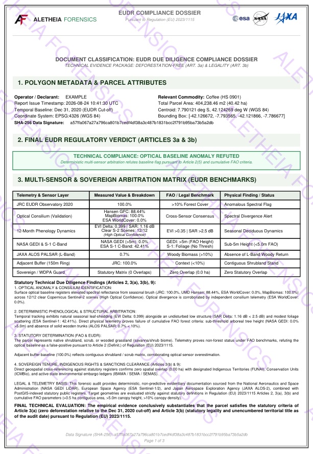
Provide your clients with an immutable forensic dossier that mathematically overrules optical sensor errors under FAO standards. We generate the intelligence; you deliver it under your brand.
We provide flexible B2B integration protocols. Whether you operate a proprietary traceability dashboard or conduct manual risk advisory, Aletheia adapts to your technical overhead.
No development required. Submit boundary files via our secure B2B portal, and our engine will generate ISO 19157 compliant forensic dossiers ready for your client's Risk Assessment report.
Connect your existing traceability platform directly to our engine. Submit GeoJSON polygons and receive deterministic, parsed telemetry data to render natively in your own UI.
Under Articles 14–16 of Regulation (EU) 2023/1115, EU Competent Authorities hold statutory power to conduct retrospective audits for up to 5 years after clearance. Basic optical screenshots offer zero legal defense when your clients are challenged by regulators.
The Risk: Article 25 statutory penalties mandate fines up to 4% of annual EU turnover.
The Defense: Aletheia delivers an immutable dossier combining deterministic CEOS L-Band SAR & LiDAR physics (Art. 3a), biennial multi-epoch loss telemetry (2022, 2024, 2026 delta sweeps), and PostGIS sovereign land tenure clearance (Art. 3b). Offer your clients unshakeable 5-year evidentiary defense.
Optical sensors (like JRC or Hansen) frequently mistake cloud cover, natural phenology, or agroforestry shadows for illegal deforestation. Our B2B radar algorithm bypasses this flaw.
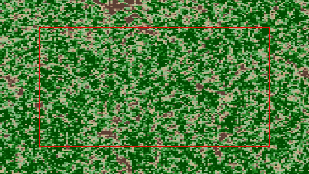
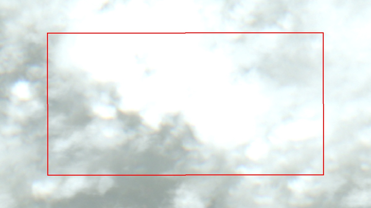
We cross-validate the official JRC EUDR baseline against a high-resolution consensus of global optical layers (Hansen GFC, MapBiomas, ESA WorldCover) to eliminate single-sensor spectral artifacts.
Utilizing multi-spectral Sentinel-2 (EVI) and Sentinel-1 SAR temporal telemetry across all 12 months of 2020. Synchronous drop signatures prove active crop harvesting pursuant to FAO exclusions.
23cm JAXA ALOS PALSAR and NASA GEDI LiDAR arbitrate FAO height and woody trunk criteria at the 2020 cut-off, while automated biennial sweeps (2022, 2024, 2026) track Sentinel-1 SAR and EVI structural collapse to mathematically detect physical post-cutoff clearing (≥0.5 ha).
Sub-second topological intersection against >290,000 UN-designated Protected Areas (UNEP-WCMC/WDPA) and sovereign tropical ledgers: Brazil (FUNAI, ICMBio, IBAMA/SEMA), Colombia (ANT), and Peru.
Your clients' supply chain geometries are strictly processed in volatile memory (RAM). We do not store, log, or train models on external commercial farm data. Coordinate payloads are permanently destroyed immediately post-execution, ensuring complete trade secret confidentiality.

Lead Geospatial Investigator
Specializing in high-stakes satellite arbitration, our analytical methodology is built on a foundation of military-grade precision and enterprise topography.
Pay only for the telemetry you consume. Generate forensic PDFs via our secure web portal or integrate via API. No annual commitments or setup fees.